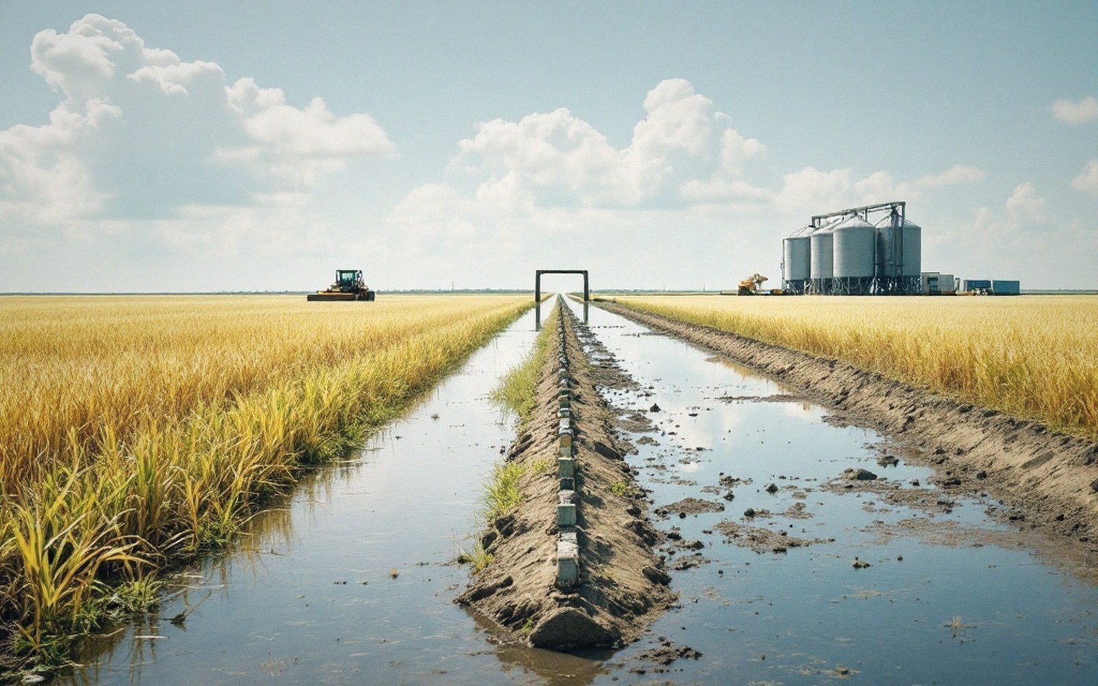
The low walls inside the field that follow the land, not the map.
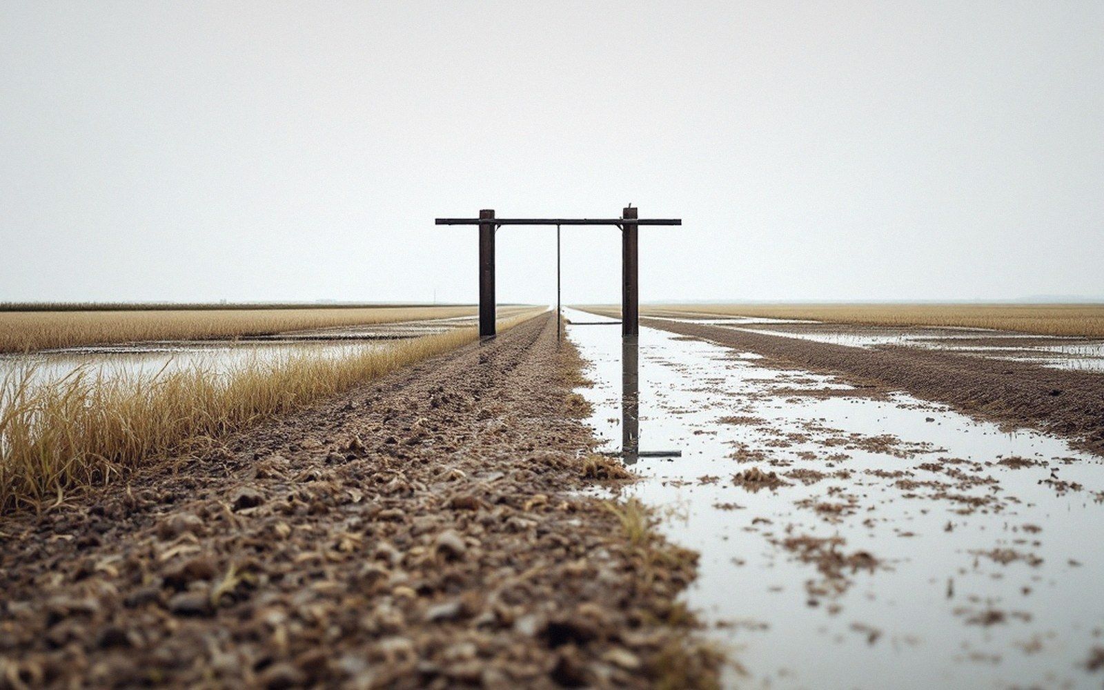
The Walls That Run with the Ground
A contour levee is not the structure that protects a town. It is the thin ridge of soil, rarely more than twelve to eighteen inches tall, that runs across a laser-levelled rice bay and holds water at a consistent depth from one end to the other. Where the tenth of a foot of fall is the surveyor's target, the contour levee is what enforces it — a physical line drawn along a grade contour so that water ponds evenly behind it rather than sheeting off the low end.
The geometry is straightforward. A bay is levelled to a controlled fall, typically a tenth of a foot per hundred feet or less. Without internal checks, a flood introduced at the high end would run to the low end and pool there while the high end stays dry, or the operator would have to flood to the depth of the entire slope, burying the low end. Contour levees divide that fall into increments. Each check holds water within a narrow elevation band — often an inch of difference across its length — so the flood can be managed at a consistent depth across the whole field rather than fighting the slope with volume alone.
The decision drives both the number of gates or breaks needed to move water between checks and the time it takes to flood and drain the field.
Construction happens as part of the initial land-forming work. After the laser plane has cut and filled the bay to grade, a small ridger or levee plow runs along the design contour. The soil is pulled up rather than hauled in; the levee is formed from the bay itself, which means the cut that creates the levee leaves a shallow borrow ditch on the upslope side. That ditch matters: it is where the water first fills, and it softens the transition between checks when flooding begins.
Levee spacing is a function of slope. A steeper grade needs checks set closer together to keep each pond within the target depth range. On ground that has been levelled to a very gentle fall, the checks can be spaced further apart and still hold water evenly. The decision drives both the number of gates or breaks needed to move water between checks and the time it takes to flood and drain the field. More checks means more gates, more management, and more potential for uneven wetting at each structure.
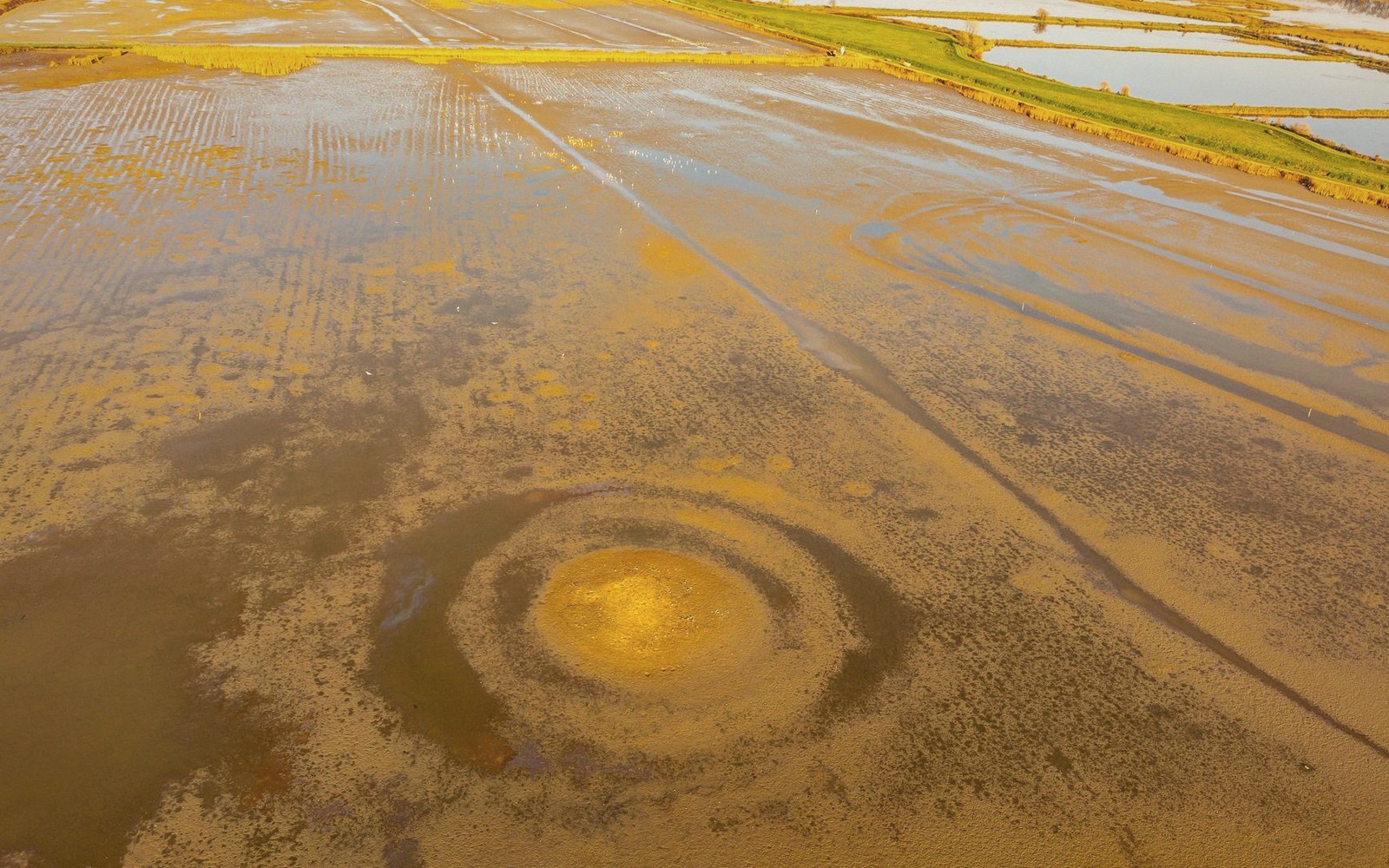
The levees themselves are low enough to cross with machinery without damage — standard practice is to leave or re-form crossing points wide and gradual enough that a tractor pulls through without trenching the crest. After harvest and tillage, levees are typically rebuilt each season; they are not permanent features but working ones, remade whenever the land is re-formed or the grade is re-checked.