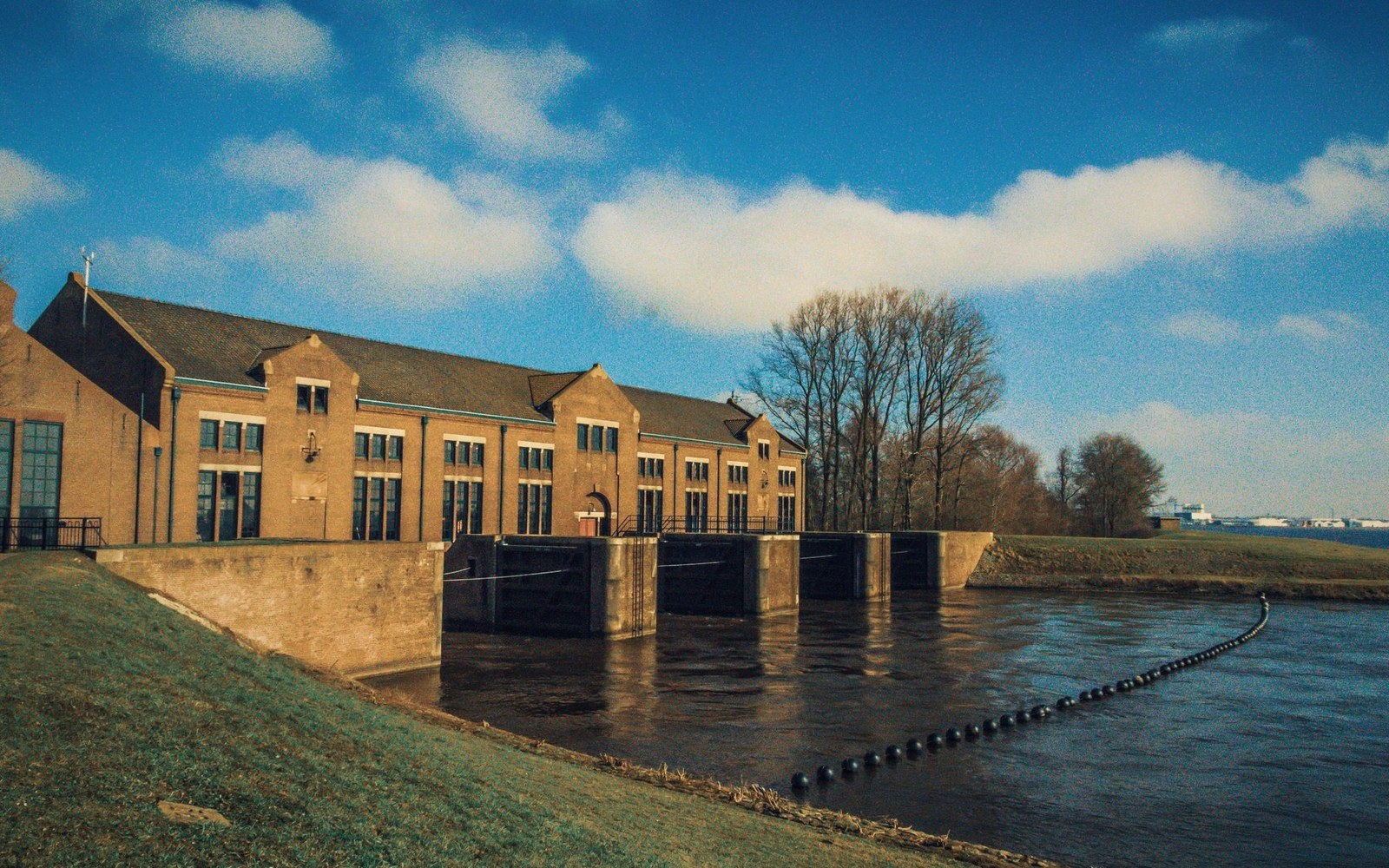
A levee protects one side by committing the other. How the line got where it is.
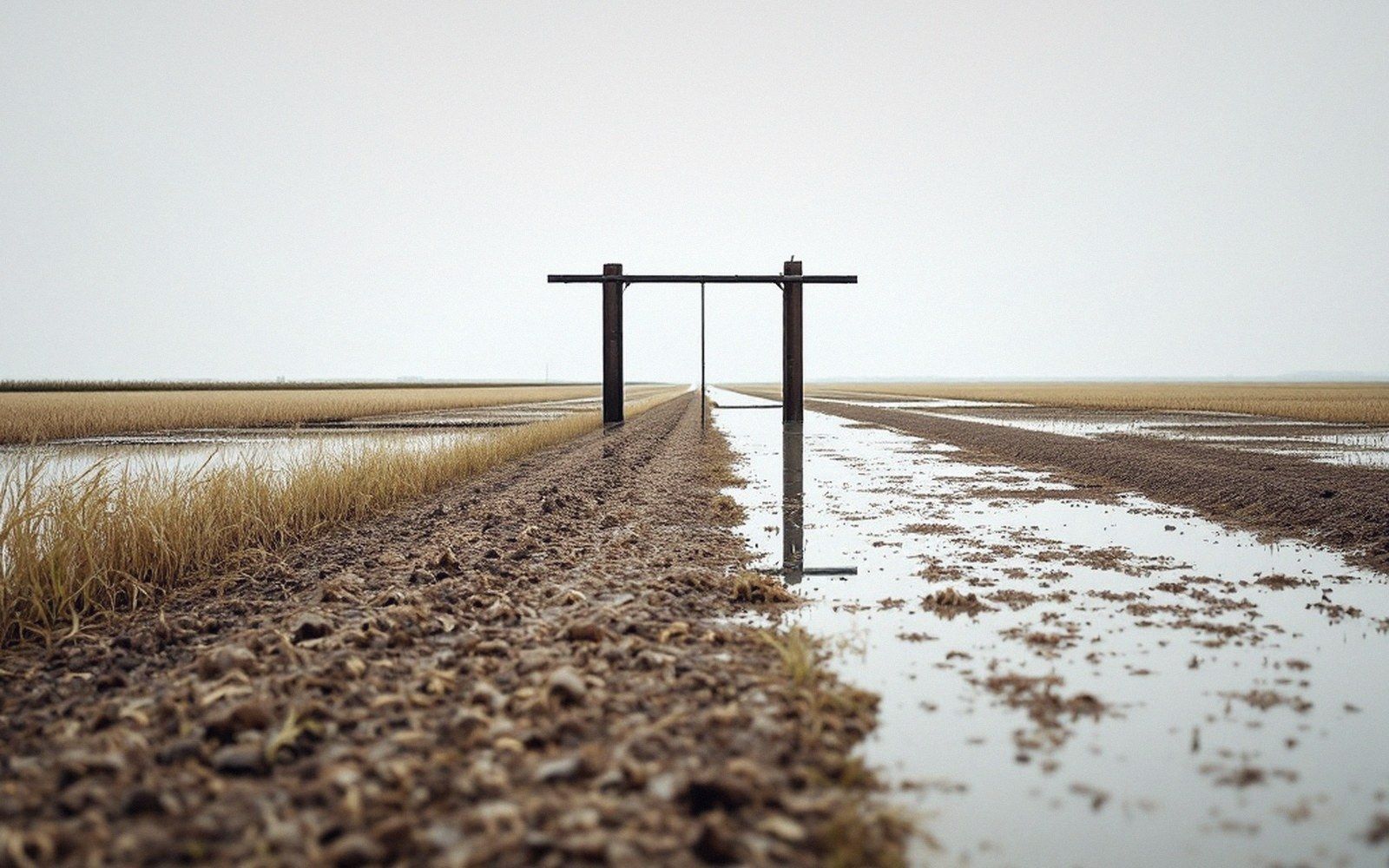
Where the geometry came from
A levee is not a wall that stops a river. It is a decision about where the river is allowed to go — and that decision was made with a transit and a political map long before any particular flood tested it. On the Mississippi Delta, the main-stem levees run for hundreds of miles along the river's eastern and western flanks, and every foot of their alignment encodes a preference: the ground inside is worth protecting; the ground outside will take what comes.
| Term | What it is |
|---|---|
| Natural levees form at the river bank from overbank deposition | |
| Private landowners and local levee boards built on those ridges, parish by parish | Private landowners and local levee boards built on those ridges, parish by parish |
| Mississippi River Commission (est. 1879) coordinated and federally funded a continuous line | Mississippi River Commission (est. 1879) coordinated and federally funded a continuous line |
| Standardization and extension raised flood stages upstream, which justified further extension | Standardization and extension raised flood stages upstream, which justified further extension |
The alignment followed the natural ridges first. The Mississippi builds its own low levees — natural levees — by dropping the coarsest sediment right at the bank when it overtops. Early settlers built their own earthworks on top of those ridges, because that was the highest, driest ground and because the river had already sorted the geometry for them. When the Mississippi River Commission began systematically coordinating levee construction after 1879, it was largely ratifying a line that private landowners and local levee boards had already drawn, one county district at a time. The federal government funded and standardized it; it did not invent it.
The levee on the main stem holds the river back from one side; backwater fills the other side from below, moving up the ditches and outlet structures.
The consequence of standardizing the line was that it fixed the floodplain. Water that once spread across a wide braid of channels and overflow basins was now confined. Confinement does two things: it raises the flood stage for a given volume of flow, because the same water has less room, and it accelerates velocity, because the channel is narrower. Both effects migrate upstream as each new reach is leveed. This is the hydraulic logic that drove the levee system to extend itself — once you protect a reach, the reach above it gets higher flood stages, which makes protecting that reach look necessary, which raises stages further upstream still. The system expanded by creating the problem it was solving.
The line on the farm
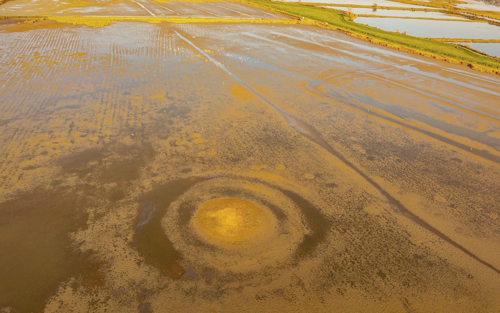
At the farm scale, the main-stem levee is someone else's infrastructure. What a Delta row-crop farmer lives with is the network of interior drainage structures and the local levee boards that maintain them — and the decision about which side of a smaller control structure their ground sits on. A ring levee around a low field, a road embankment doubling as a water-control feature, a pump-out structure that drains to a ditch that drains to a bayou that drains to the river through a gated outlet: each connection in that chain commits the land on one side to flooding if the chain is overwhelmed or the gate is closed against backwater pressure.
Backwater is the specific condition where a river in flood raises the water level in every tributary and ditch that feeds it, sometimes miles from the main channel, without any water actually flowing overland. The levee on the main stem holds the river back from one side; backwater fills the other side from below, moving up the ditches and outlet structures. The interior drainage system, designed to shed rainfall off flat fields in a normal year, has nowhere to discharge into a river already running above field grade. Fields flood not from rain falling on them but from water backing up through the pipes and gates that were supposed to drain them.
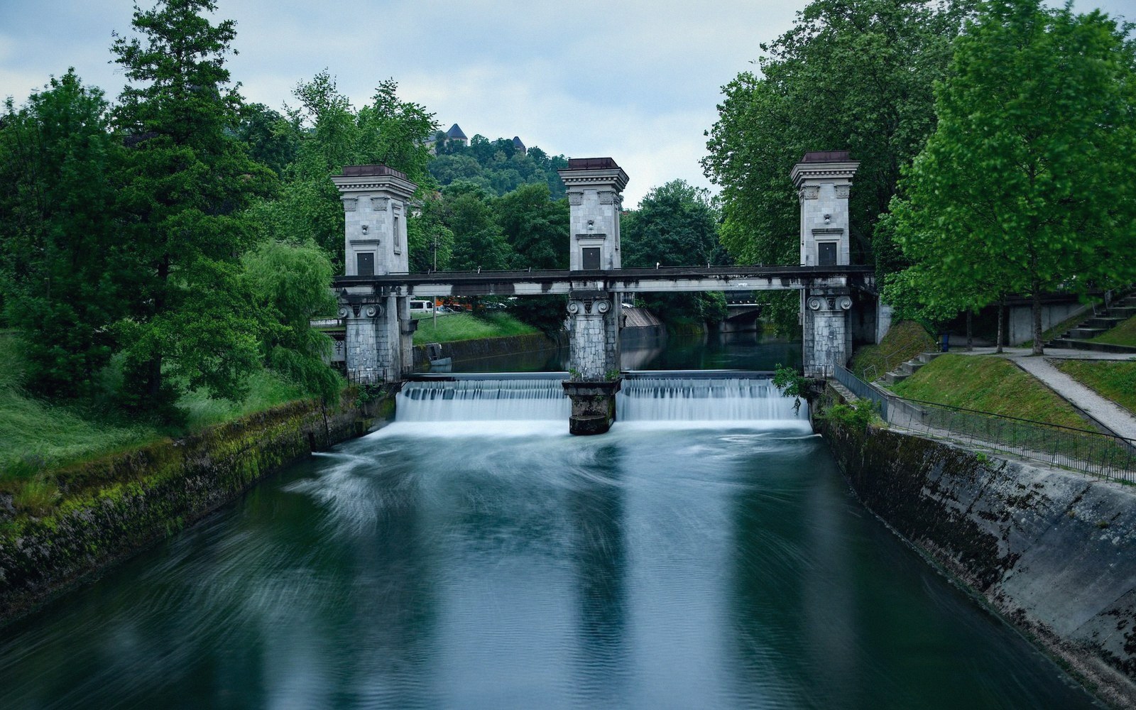
This is why the line matters at every scale. A main-stem levee a hundred miles long protects a million acres and drowns none of them directly — the flooding happens in the unprotected corridor. A poorly placed or poorly maintained interior berm protects a road and floods a field. The principle is the same: the line doesn't stop the water. It tells the water which side to pile up on. Getting that decision right, or living with it when someone else got it wrong, is the hydraulic condition that Delta farming sits inside.