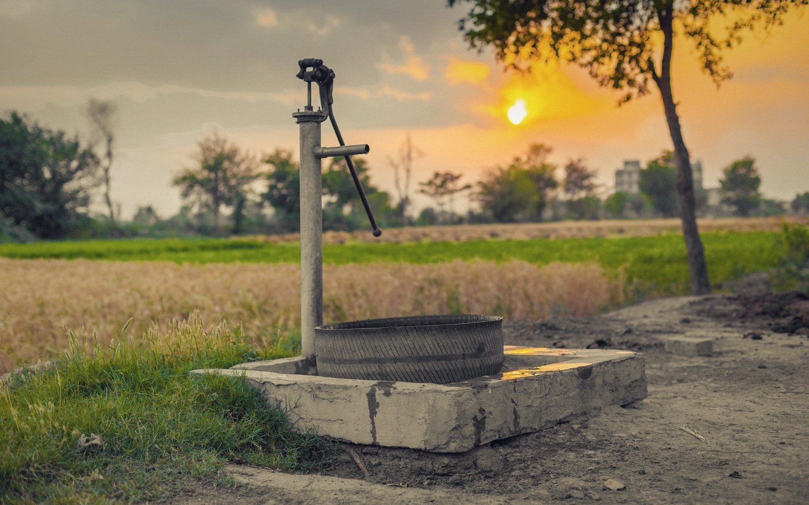
The Delta's water table was once close enough to the surface that shallow wells did most of the work. That arithmetic has shifted.
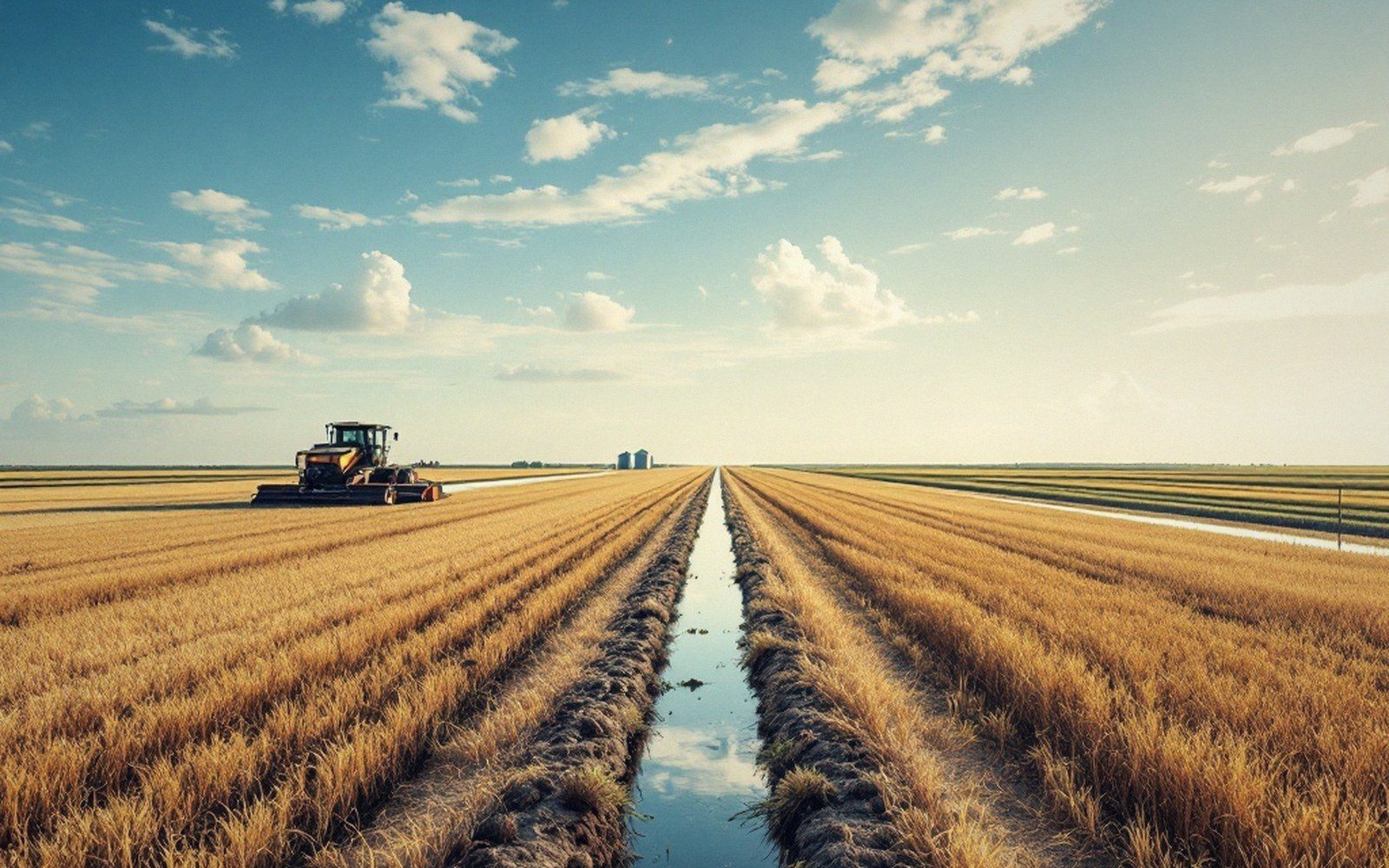
What the cone looks like
The Mississippi River Alluvial Aquifer runs beneath the whole Delta — a wedge of sand and gravel laid down by the river over thousands of years, saturated and thick enough in places to look inexhaustible. It is not. The aquifer refills from rainfall, from infiltration through stream channels, and from lateral movement in from the bluffs and the river itself. That recharge is slow, measured in inches per year. Withdrawal, through tens of thousands of irrigation wells pumping through June and July, is fast.
The result is a cone of depression. Pump a well hard enough and the water table drops around it in a rough bowl shape — the drawdown steepest right at the casing, flattening out at some distance where the aquifer is still at its ambient level. In a field with a single well, that cone recovers between seasons if the pumping hasn't been too aggressive. But the Delta is not a field with a single well. In the heavily irrigated counties of Arkansas, Mississippi, and Louisiana, cones from adjacent wells overlap. The local water table is no longer responding to individual pumps; it is responding to the region. In parts of the Arkansas Delta, the water table has dropped by thirty feet or more over the past several decades. Some areas have seen declines exceeding fifty feet from historic levels.
That drop is not uniform. The aquifer is thicker under parts of the Delta than others, and the sands that carry water most freely — the coarser, cleaner gravels — aren't everywhere. Where they are, a well can yield a thousand gallons a minute without pulling the water table down as fast as a tighter, silty formation will. But yield and drawdown both depend on what the neighbors are doing. A grower whose well sits in a district that pumps hard will see their static water level — the level before pumping starts — creep down year by year. Their well isn't failing; the aquifer around it is being spent faster than it refills.
What it does to lift
Static water level is where the arithmetic starts. A pump doesn't lift water from the aquifer's top surface; it lifts it from the pumping water level, which is lower than static by the amount the cone has developed in that well under load. Add the height from the pumping level to the discharge point at the surface, and you have total dynamic head. Every foot of that head is fuel.
In the worst cases, a well that has pumped reliably for twenty years has simply outlived the water column it was designed to reach.
As the regional water table drops, static level falls with it. The pump that once lifted water thirty feet now lifts it forty-five. Nothing else has changed — the field, the flow rate, the engine — but lift is the bill that grows without any decision being made. On a diesel-powered turbine pump running several hundred hours a season, a fifteen-foot increase in lift isn't a rounding error. It's a material change in operating cost, and it compounds as long as drawdown continues.
Well casings set for a shallower water table can also start pulling air when drawdown is severe, either intermittently during peak pumping hours or permanently if the saturated thickness above the screen gets too thin. The well doesn't announce this gracefully. Output drops, the pump cavitates, and what looked like a mechanical problem is actually a hydrology problem. In the worst cases, a well that has pumped reliably for twenty years has simply outlived the water column it was designed to reach.
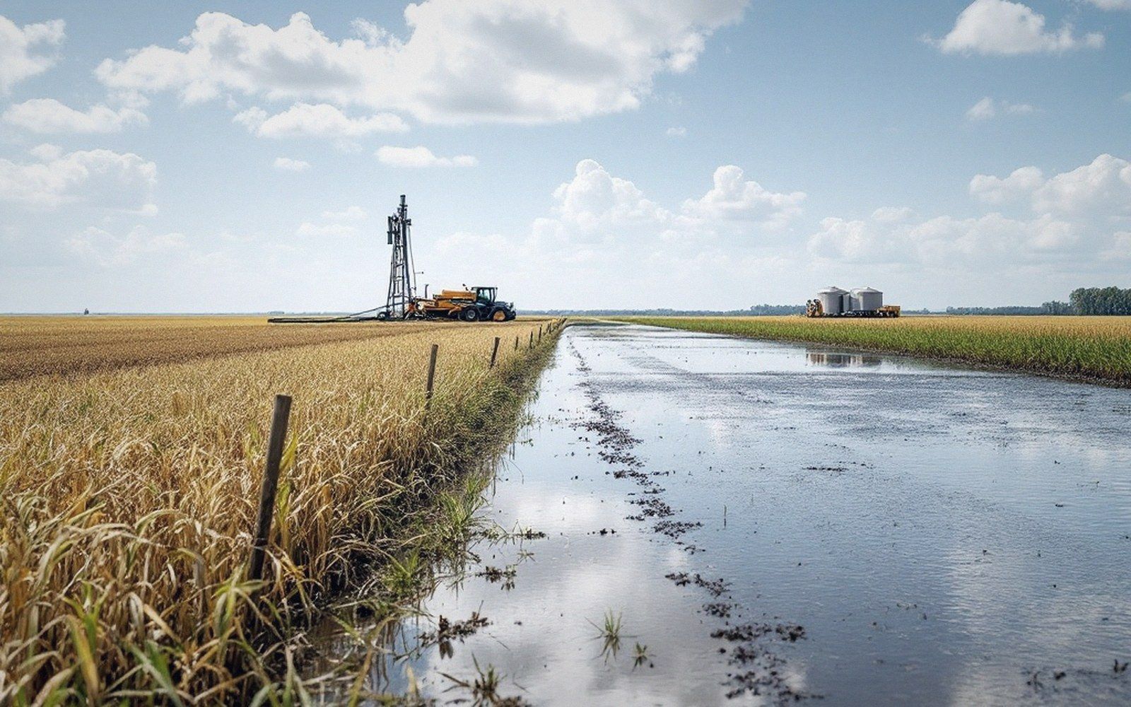
The refill rate
Recharge to the alluvial aquifer happens, but not on an irrigation schedule. A wet winter puts water back; a dry one doesn't. Lateral inflow from the Mississippi and from tributaries adds to the system, but the pathways are slow and the connection uneven. Tail-water recovery and on-farm storage reduce demand from the aquifer by reusing runoff rather than pulling fresh groundwater for every irrigation — a real offset, though not a correction for regional-scale drawdown. The balance the aquifer runs is long: withdrawals are tallied by the season, but the ledger closes, if it closes, over decades.
Dead Level is an independent publication about irrigation and row-crop practice on the Mississippi Delta. It is not a government department, extension service, commodity board or advisory body.