
The fixed point that controls everything below it
A laser-controlled scraper follows a plane, but the plane has to come from somewhere. That origin is a base station — a tripod-mounted receiver set on a benchmark and left there while the work runs. Everything the machine does is referenced back to that point. If the point moves, the grade moves with it.
The benchmark is usually a hub driven into undisturbed ground at the field's edge, shot by a licensed surveyor and tied to a known elevation in the county network. On Delta ground, "undisturbed" is relative. Alluvial soils are still settling years after the last levelling pass; a hub set in a recently filled low can creep down a tenth of a foot in a single wet season. A tenth of a foot is the entire design tolerance for a rice bay. If the base station follows the hub down, the scraper follows it too, and no one knows the grade has drifted until the water sits wrong.
The receiver on the machine — the mast sensor — reads the rotating laser plane continuously and drives a hydraulic valve to hold the blade at the commanded depth. The system is fast and precise to within a few hundredths of a foot under normal conditions. What it cannot do is detect a bad reference. It corrects faithfully to a plane that may itself be wrong.
Underneath it is still a surveying problem, and surveying is still about having one fixed point you can trust.
This is why the base station position is checked before work begins, not assumed. A crew that moves the tripod mid-job to get out of the way of a grain cart and replaces it by eye has just introduced an unmeasured error into every cut made after the move. The laser receiver does not know the station shifted; it keeps tracking and the scraper keeps cutting.
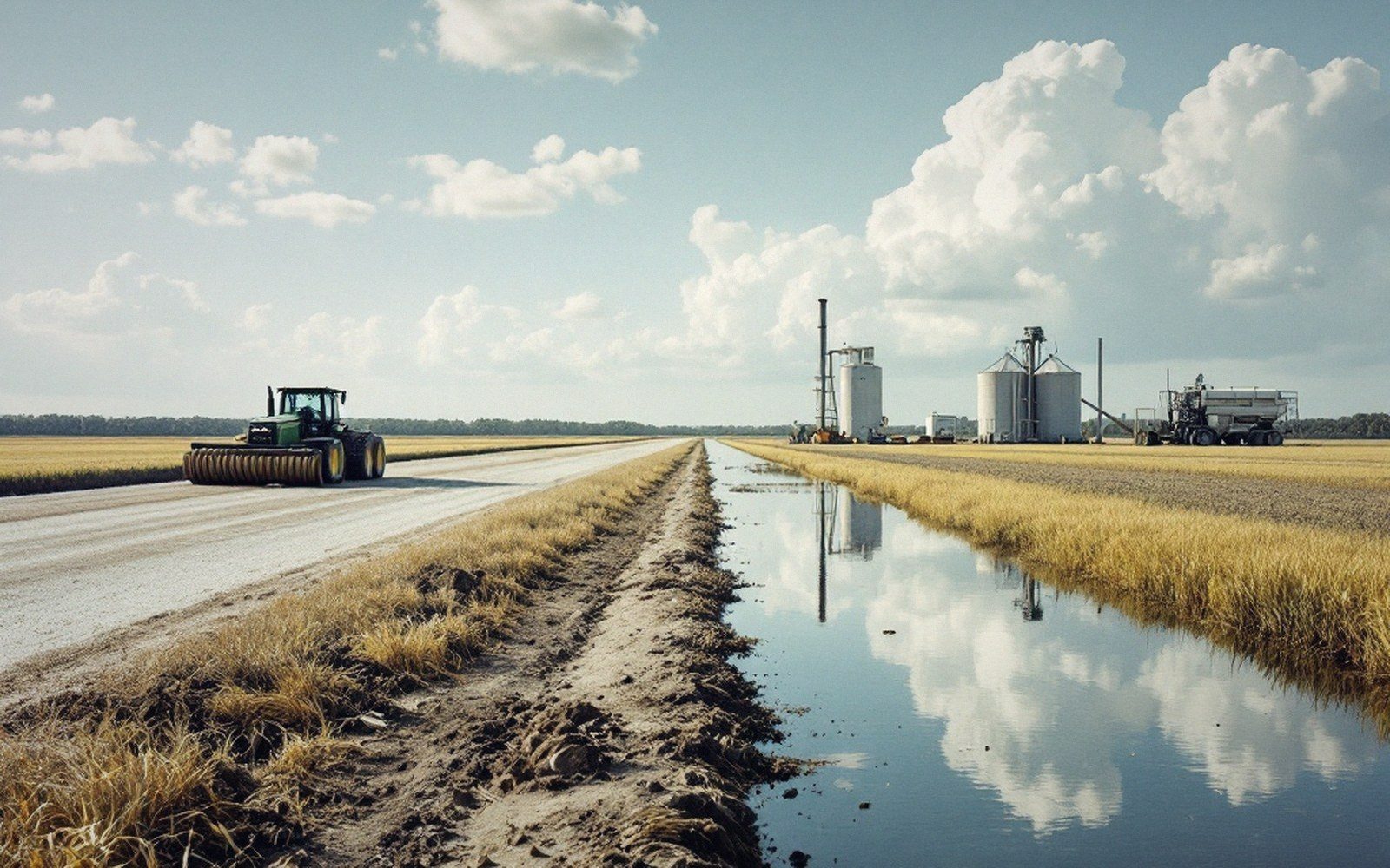
On large fields where the laser plane's range is marginal at the far end — signal strength falls with distance and with shimmer on hot afternoons — contractors sometimes run two base stations, one for each half, with a grade break between them. Both must be tied to the same survey network or the break becomes a step. A step in a rice bay is a check levee you did not plan.
The take from all this is simple: the machine is only as good as its reference, and the reference is only as good as the ground it sits on and the survey that found it. Laser grading looks like a technology problem. Underneath it is still a surveying problem, and surveying is still about having one fixed point you can trust.